|
|
|
Map Library
Family History Maps
(Maps marked * are
digital images that have either been purchased from,
downloaded from or linked to various sources which are credited in the
catalog record. Maps not marked have been digitized from
original copies in the buhler-family library.)
|
Image |
Description |
 |
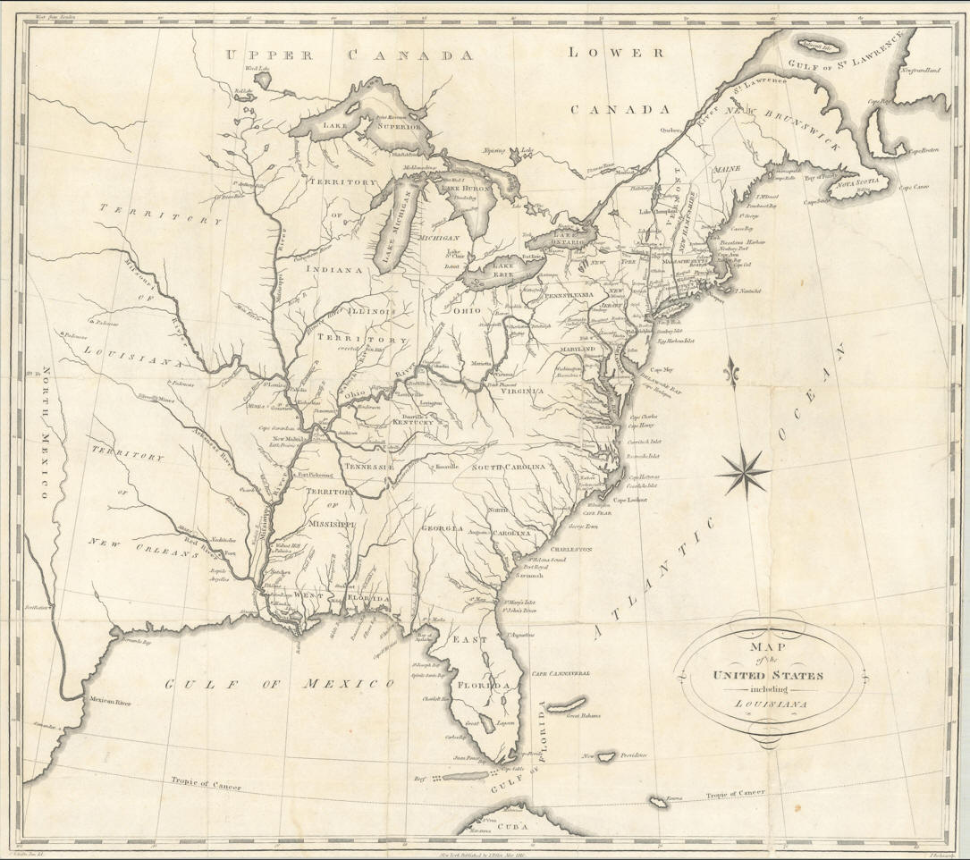
Christian Schultz. "Map of the United States
including Louisiana." New York, N.Y.: I. Riley, 1810. |
 |
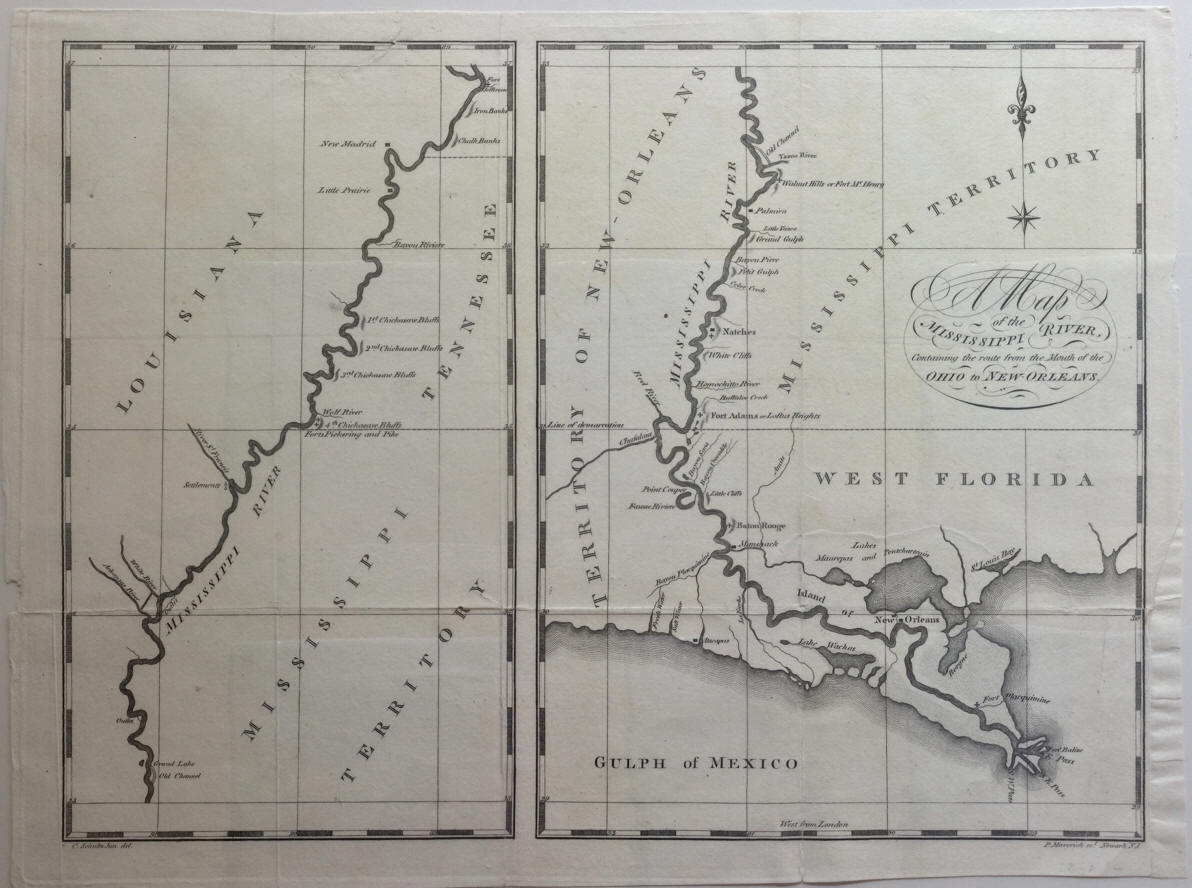
Christian Schultz. "A Map of the Mississippi
River, containing the route from the Mouth of the Ohio to New-Orleans."
New York: Printed by Isaac Riley, 1810. |
 |
*Gotthelf Zimmermann. “Auswanderer-karte und
wegweiser nach Nordamerika.” 1853.
|
 |
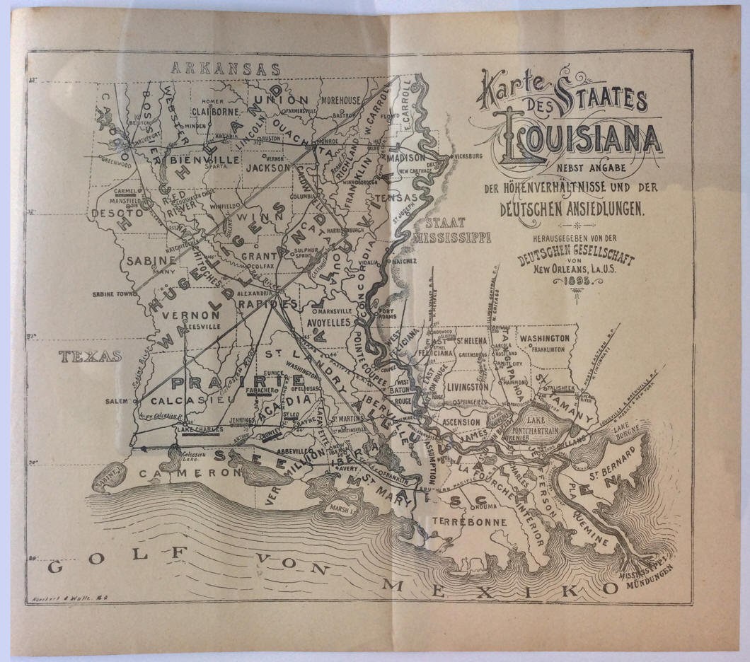
Gustav Koeckert and John Walle. Karte Des
Staates Louisiana Nebst Angabe der hohenverhaltnisse und der Deutschen
Ansiedlungen. New Orleans:
Deutschen Gesellschaft von New Orleans, 1895. |


 |
George F. Cram. "The Louisiana State Board of
Agriculture and Immigration’s Map of Louisiana. A Phytogeographic map
showing the principal vegetation areas, all principal commercial points,
town populations and railway distances." 1913.
(verso)
(covers) |
 |
Department of the Interior, National Park
Service. "Sequoia National Park and Vicinity" Sequoia National Park.
California. Washington, D. C.: Government Printing Office, 1936.
[map bound in]
|

 |
"Rand McNally 14 x 21 inch Map of United States."
circa 1944.
(verso) Servicemen's
Map of the United States and Insignia of the Armed Forces Published by Fred
Harvey. |
 |
Sidney B. Lusignan, "My [Holographic] Will" 1955. |
 |
Joseph Wilhelm, "SS CEFALU at Desire St. Wharf in
New Orleans, Jan. 1957" New Orleans, LA. |
 |
Author unknown, "Genealogy of the Kings of I.
Jerusalem II., Cyprus III., and Silicia." Date unknown. |
 |
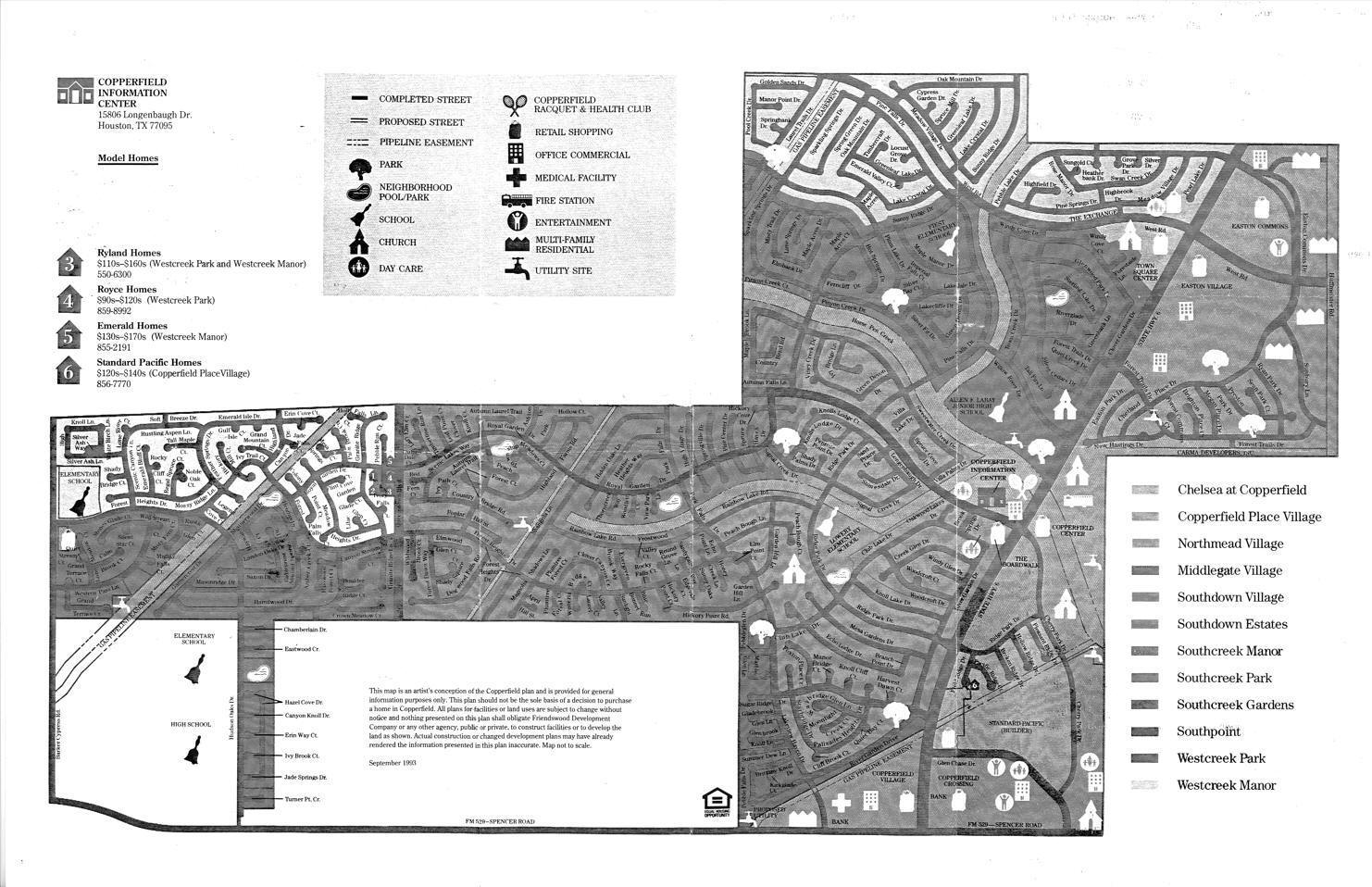
Friendswood Development Company. [Copperfield
Plan]. Houston, TX. September 1993. |
updated 16 December 2023 |